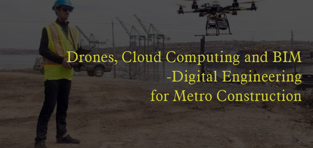
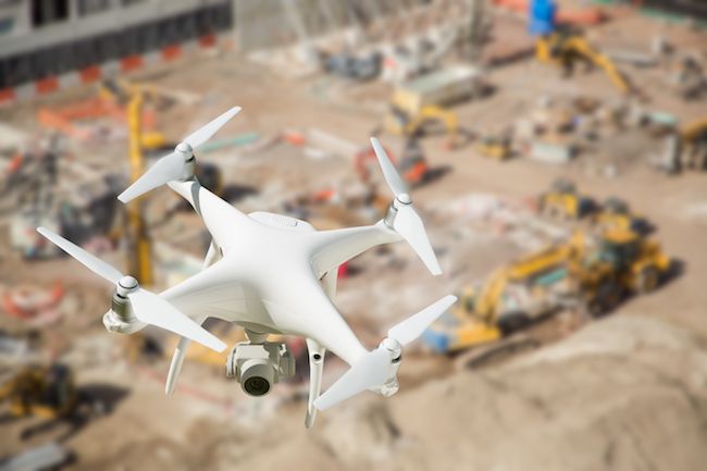
Design and construction companies are quickly discovering the value brought by drone mapping. Construction projects these days are carried out based on the images and site plans discovered after drone surveillance. Volume and elevation measurements, comparison and quality assurance measures can be achieved more efficiently when an initial drone survey is carried out on a construction site before the real project gets started.
A number of established construction companies around the globe, such as the VDC team at Brasfield & Gorrie, are already setting high standards in this regard. The company has equipped each of its regional offices with a series of drones whose everyday data is incorporated into business practices.
BIM-Drone Point Clouds Enabling Powerful Analysis
Not just limited to the completed drone-generated point cloud, the model can further be integrated into BIM software. The construction teams generated point clouds through these drones and then imports this data into Autodesk Revit. This is then overlaid with the 3D site plan models and other critical data to improve the following processes.
- Initial site design.
- Quality assurance- comparing actual construction figures against the intended plan.
- Measuring changes over time.
Below are a few examples of how construction companies leverage point cloud data in BIM software to help make better decisions.
Site Planning
Done data is used to help site planning in terms of overlaying the architect’s design for the construction project. This data can also be used to determine the crane clearance area while the project is initiated.
Verifying Concrete and Pipe Work
Ensure accurate placement of pipes with drone-generated point clouds, verifying concrete and pipe work against existing designs. This advanced method guarantees precision in elevation checks, reducing errors in construction. Achieve seamless alignment and enhanced project efficiency.
Monitoring the Earthwork
Monitor large-scale earthwork projects efficiently with drone-generated data, providing real-time insights into site conditions. Leverage drone technology for accurate earthwork analysis, enabling informed and timely decisions to optimize project outcomes.
Challenges of Implementing Drones and BIM in Construction
- High Initial Costs
The integration of drones and BIM requires substantial investment in equipment, software like Autodesk Revit, and skilled personnel, which can be a financial hurdle for smaller firms. - Data Security and Privacy
Drones raise concerns about privacy and data security, especially in urban areas. Protecting project data stored on cloud platforms is also a challenge. - Training and Workforce
Many construction professionals lack training in drone operation and BIM software, necessitating costly and time-consuming workforce upskilling. - Interoperability Issues
Ensuring seamless integration of drone data with BIM systems can cause delays due to compatibility problems between different platforms. - Regulatory Hurdles
Drone usage is subject to regulations that vary by region, requiring permits and compliance with strict guidelines, which can slow down project timelines.
Future Trends: AI and Machine Learning Integration with Drones, BIM, and Cloud Computing:
Predictive Analytics:
AI and machine learning can analyze drone and BIM data to predict delays, equipment failures, and material shortages, improving project management efficiency.
Automated Workflows:
Integrating AI with drones and BIM will automate tasks like site inspections, data analysis, and safety monitoring, enhancing productivity and reducing errors.
Real-time Decision Making:
Cloud computing combined with AI will enable real-time data processing, allowing construction managers to make immediate, informed decisions, improving project outcomes.
Conclusion:
Engineers, designers, and construction project managers are widely using this technology to measure the exact differences in the plans and the construction work. To know more about this technology and make a career in this field, join the professional courses offered by the CADD Centre training services. Grab the trending job opportunities being accredited by one of the biggest brands on the globe.
FAQs
How are drones used in construction for site mapping and surveying?
Drones provide detailed site mapping and aerial surveying, enabling construction teams to gather accurate data on elevations, site conditions, and topography. This helps in early project planning, reducing errors and improving efficiency.
What are the benefits of integrating drones with BIM for construction management?
Integrating drones with BIM allows for real-time data integration, enabling 3D modeling, project tracking, and quality assurance. This combination improves accuracy in site design, earthwork monitoring, and verification of concrete and pipe placements, leading to a streamlined construction process.
What are the challenges of using drones, BIM, and cloud computing in construction projects?
Challenges include high initial costs, data privacy concerns, regulatory compliance, and the need for skilled personnel. Companies often face interoperability issues with BIM software and need to upskill employees for effective implementation.
How can I build a career in BIM and drone technology for construction?
To start a career in this field, consider enrolling in specialized courses, such as those offered by CADD Centre, to learn drone operation, BIM software, and cloud computing applications for construction. These skills are increasingly in demand for careers in digital construction management
How does drone technology improve quality assurance and site monitoring?
Drones capture detailed site images and data, which helps verify concrete and pipe work, monitor large-scale earthwork, and conduct quality checks. This data allows construction teams to align on-site work with the initial design and minimize errors.